 https://www.dropbox.com/s/x7zdfzrfaxeps1x/GovHack2016.zip?dl=0
As currently the GovHack site is down, we cannot edit our project description. We have to put it here:
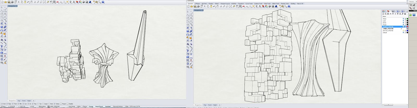
Project: 5D city Explorer.
Project Description: Creative geolocated data visualisation / exploration of data (such as land use, energy and water consuption) interpreted as imaginary city. [parallel Geelong]
The first 3 dimensions are : XYZ coordinates
The 4th dimension is time. Our game interface allows user (city explorer) to to the past as well as to look into the [projected] future.
The 5th dimension is the layer of information (data)
Data used:
1) Energy Usage data [Geelong]
2) Water Consuption data [Geelong]
3) Land use data: Housing development / Vacant land / Cadaster regions


